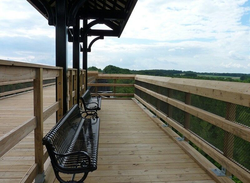
A bridge that first carried trains 125 feet above a Virginia river back in 1854 now carries nothing louder than bike tires, sneakers, and the occasional horse. No engines.
No honking. Just a very long walk through the sky.
The span stretches more than 2,400 feet, which makes it one of the longest recreational bridges in the whole country. It’s flat, wide, and covered in crushed stone instead of asphalt.
I like how something built for heavy freight now feels made for slow strolls.
The story gets better, too. Soldiers once tried to set this crossing on fire during the final days of a famous 1865 campaign.
Union engineers stopped it from being fully destroyed.
So how does a battle-scarred railroad bridge turn into one of the most peaceful places to stand in the state? The answer starts on an old rail bed.
An Old Railroad Corridor That Swapped Freight Trains for Footsteps
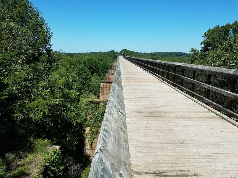
Thirty-two miles of former railroad bed now belong to walkers, cyclists, and horseback riders. That’s the deal at High Bridge Trail State Park, and it’s a pretty sweet one.
The park runs through Cumberland, Nottoway, and Prince Edward counties in Southside Virginia. Along the way, it links the towns of Burkeville, Rice, Farmville, Prospect, and Pamplin City.
Its star attraction is right in the name. The High Bridge rises 125 feet above the Appomattox River and stretches more than 2,400 feet from end to end.
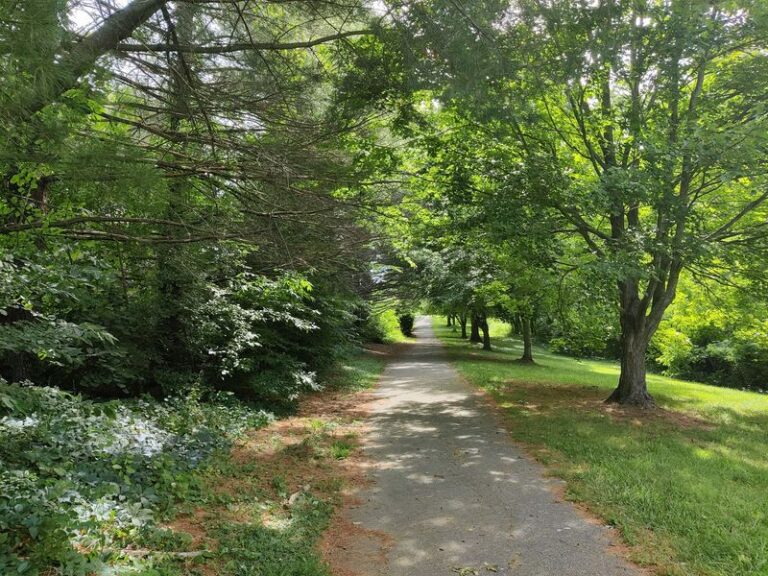
Everything else about the trail is built around easy movement. The old rail line gives you a wide, level path surfaced with finely crushed limestone.
You won’t find steep climbs or rocky scrambles here.
The park is open daily from sunrise to dusk. That gives early birds and sunset chasers plenty of room to work with.
I love that the whole thing feels both historic and relaxed. You’re following the exact route trains once rumbled along.
Yet the loudest sound most days is probably your own breathing on a long bike ride. Not a bad trade for an old freight corridor.
Brick Piers, Wooden Trusses, and a Bridge Built in Two Layers
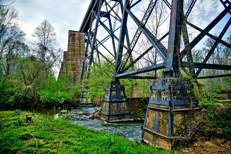
Back in the 1850s, the Southside Railroad needed a way across the Appomattox River valley. Their solution was ambitious for the era, to put it mildly.
Construction ran from 1852 to 1854. The goal was to connect Petersburg with Lynchburg, two important Virginia cities of the day.
The original bridge used wooden trusses perched on 20 brick piers. Picture the engineering nerve that took, with nothing but mid-1800s tools and a whole lot of grit.
Here’s a fun twist. The first version had two levels.
Trains and pedestrians used the upper deck, while wagons rolled along a lower level underneath.
That double-decker design made the bridge a true crossroads for the region. Goods, people, and livestock could all move across the valley in one spot.
It’s easy to forget how big a deal this was. Rivers like the Appomattox once slowed travel to a crawl.
A crossing this tall and long changed how quickly the area could connect with the rest of the state. Today’s visitors get to enjoy the payoff of that 170-year-old ambition, minus the soot and the wagon wheels.
Flames, Engineers, and Two Fateful Days in April 1865
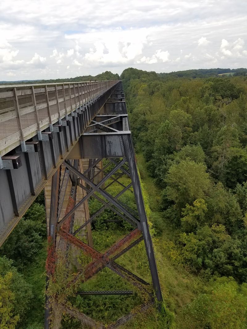
History buffs, lean in. During the Appomattox Campaign on April 6 and 7, 1865, this bridge became one of the most important crossings in Virginia.
Confederate forces were retreating after the Battle of Sayler’s Creek. They tried to set the High Bridge on fire to slow the Union troops chasing them.
The plan didn’t fully work. Union engineers moved in and kept the bridge from being completely destroyed.
That matters more than it sounds. Every hour counted in those final days, and a usable crossing helped keep the pursuit moving forward.
After the fighting ended, the bridge needed serious repairs. Confederate General William Mahone, nicknamed Billy, oversaw the rebuilding effort.
He later became known for his railroad work in the region.
The park even ties its own milestones to this story. The full trail officially opened on April 6, 2012, which marked the 147th anniversary of the Battle of High Bridge.
I can’t imagine standing on that deck in 1865 with smoke rising around me. Now you can stand in the same spot, enjoy the breeze, and think about how close this landmark came to vanishing.
Steel in 1914, Silence in the 2000s, and a Surprise Gift
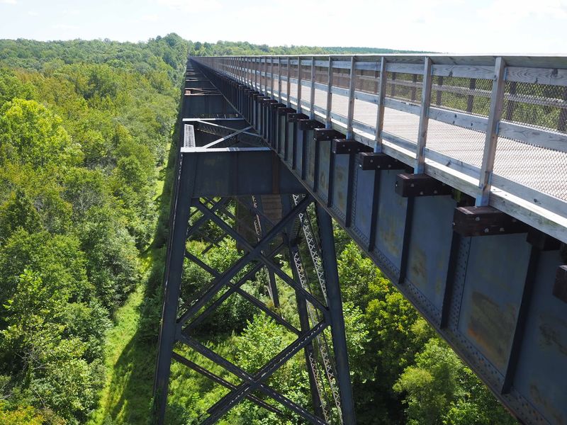
Wood only lasts so long. In 1914, the High Bridge was rebuilt with steel, giving it the sturdy profile you see across the valley today.
Trains kept using the line for decades after that. Eventually, though, the math stopped working for the railroad.
Norfolk Southern abandoned the route in the mid-2000s because of high operating costs. For a while, it looked like the corridor might simply fade into the trees.
Then came a plot twist worth cheering. In December 2006, Norfolk Southern donated 31 miles of the old corridor to the Virginia Department of Conservation and Recreation.
The plan was to turn it into a state park. The first four miles opened to the public on August 22, 2008.
The bridge itself needed 13 months of rehabilitation work before people could safely cross it. Once that wrapped up, the entire trail opened on April 6, 2012.
The story kept growing after that. The state acquired the final mile at Pamplin City in 2020, and the latest extension wrapped up in spring 2024.
That brought the trail to its current 32.2 miles.
Nearly Half a Mile of Bridge With Zero Car Horns
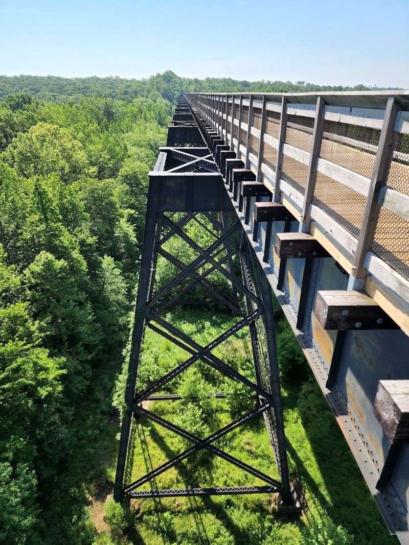
More than 2,400 feet. That’s how far the High Bridge stretches over the Appomattox River, and it feels even longer once you’re on it.
The deck sits 125 feet above the water. For perspective, that’s roughly the height of a 12-story building, give or take a floor.
It holds the title of longest recreational bridge in Virginia. It also ranks among the longest recreational bridges in the entire United States.
Since cars aren’t part of the picture, the whole span belongs to people on foot, on bikes, and on horseback. You can stop in the middle, lean on the railing, and nobody will lean on a horn behind you.
The bridge carries some impressive credentials, too. It’s a Virginia Historic Landmark and is listed on the National Register of Historic Places.
That double honor feels well earned. Few structures in the state have survived a fire, a full rebuild, and a career change into a park.
Crossing it once is a must. Crossing it twice, once in each direction, might be smarter.
The views shift completely depending on which way you’re facing.
Sweeping Views That Make Phones Come Out Fast
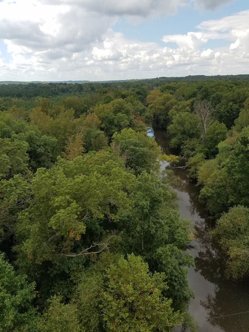
Up on the deck, the world opens wide. From 125 feet above the river, you get long views in nearly every direction.
Below, the Appomattox River winds through the valley. Around it, forests and farmland roll out toward the horizon in a classic Southside Virginia scene.
It’s the kind of view that makes people slow down without meaning to. Even serious cyclists tend to tap the brakes here, and honestly, who could blame them?
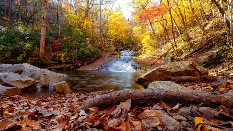
Season changes the whole mood. Spring brings fresh green, summer brings thick leafy canopy, and fall can turn the valley into a quilt of color.
Winter has its own charm. With the leaves gone, you can often see more of the land and the river’s curves.
The bridge makes a natural photo stop, too. Long railings, a straight deck, and big open sky give you plenty to frame.
My advice? Give yourself extra time on the span itself.
Rushing across a view like this feels a little like skipping dessert. Technically possible, sure, but why would you do that to yourself on a perfectly good day out?
Crushed Limestone and a Grade Your Legs Will Appreciate
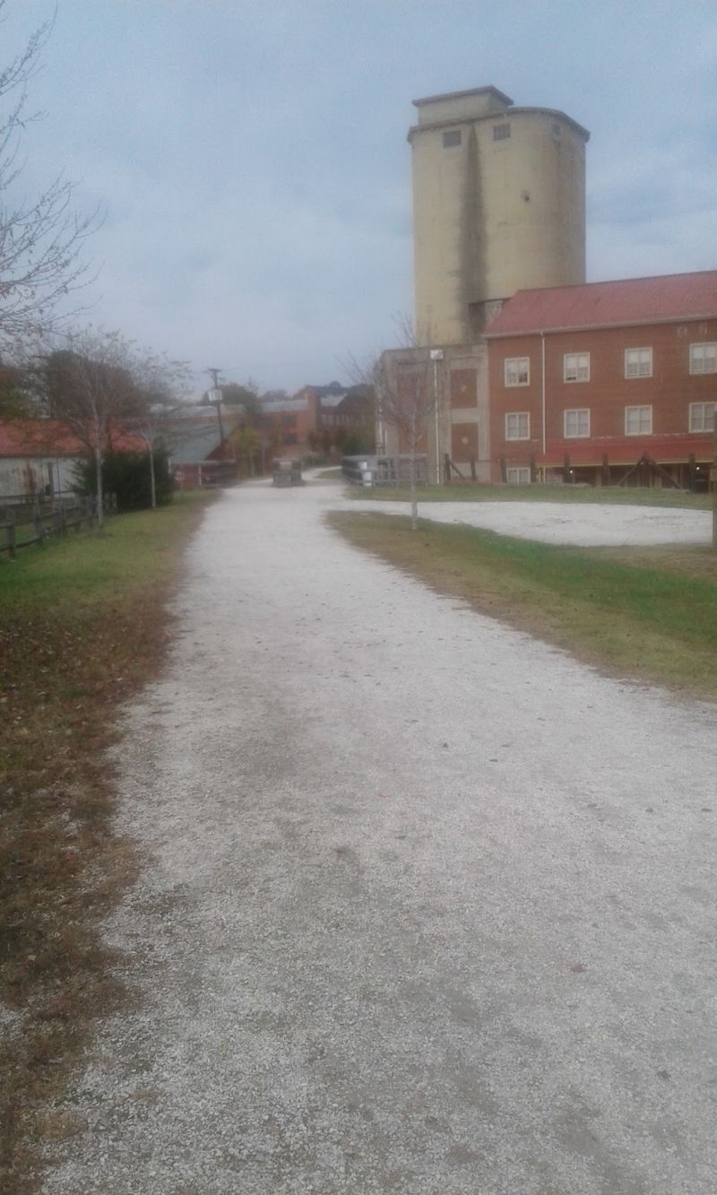
Good news for anyone who dreads hills. About 90 percent of the trail stays at a level grade, thanks to its railroad roots.
Trains don’t love steep slopes, and neither do most casual cyclists. The engineers who laid this route did modern trail users a huge favor without knowing it.
The surface is finely crushed limestone. It’s packed and smooth enough for bikes, comfortable for walking, and friendly to hooves.
The path is also wide. That makes passing easy and gives groups room to spread out without anyone getting squeezed.
Hybrid bikes and mountain bikes handle the surface well. Skinny road tires might feel a bit less happy on loose stone, so plan accordingly.
The trail has earned national recognition as a National Recreation Trail. That label goes to routes that stand out for their quality and public value.
With 32.2 miles to work with, you can make your outing as short or long as you like. A quick out-and-back from a parking lot works great.
So does a full-day ride for those with ambitious legs and plenty of snacks packed.
Hikers, Cyclists, and Horses All Sharing One Old Rail Bed
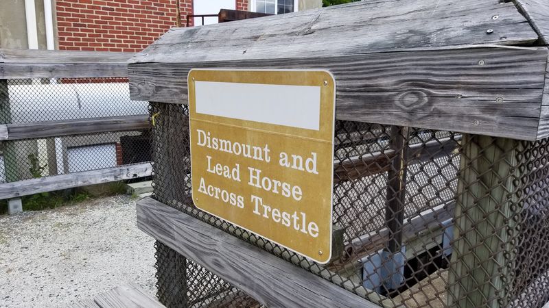
Hooves on a historic railroad bridge? Yes, really, and it’s one of the coolest parts of this park.
High Bridge Trail State Park welcomes three main types of users. Hikers, bicyclists, and horseback riders all share the same trail.
Horse owners get some thoughtful support here. Designated horse trailer parking is available at High Bridge Station and at the Prospect access point.
That’s a big deal for riders. Plenty of trails allow horses on paper but leave nowhere practical to park a trailer.
For walkers and runners, the flat grade makes this a comfortable place to rack up miles. Families with younger kids can also find shorter sections that feel manageable.
Cyclists get the most range out of the full length. A long ride can take you through several small towns and lots of quiet countryside.
Sharing works best with a little courtesy. Giving horses space and announcing yourself when passing keeps everyone relaxed.
I like how the trail brings such different people together. A rider, a jogger, and a kid on training wheels can all end up admiring the same river view from the same old bridge.
Water Bottles, Restrooms, and a Handy Bike Fix-It Stop
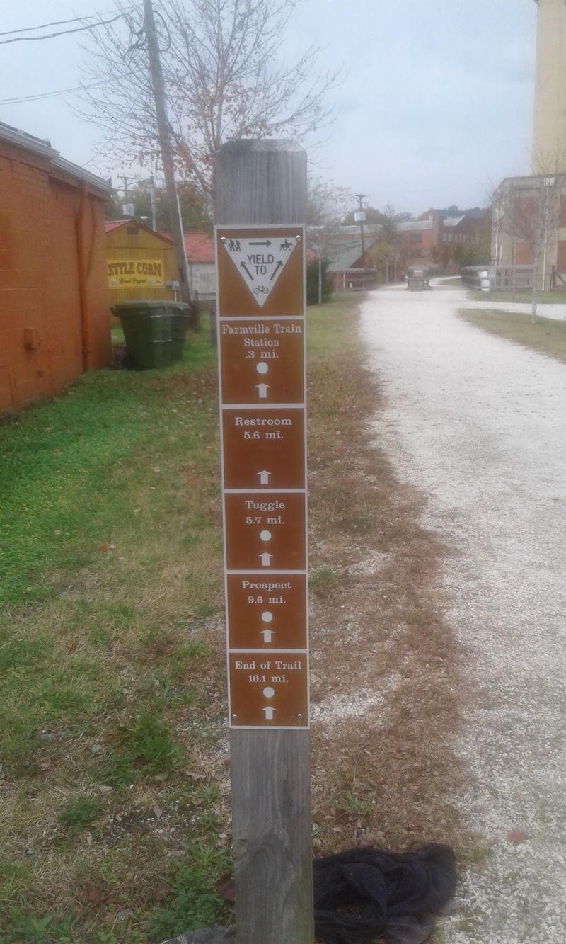
Pack that water bottle before you leave home. Drinking water is available only at High Bridge Station and in downtown Farmville.
On a 32-mile trail, that’s a detail worth remembering. Summer days in Virginia can heat up quickly, and the stretches between towns feel quiet and rural.
Restrooms are easier to come by. You’ll find vault and flush toilets at High Bridge Station, River Road, downtown Farmville, and several other spots along the route.
All restroom facilities throughout the park are currently open. That’s a small thing that makes a long outing far more pleasant.
Cyclists can breathe easier, too. The park has a bike repair station for quick fixes and adjustments.
Want a lunch break with some breathing room? Picnic areas dot the park, including a large one at Camp Paradise.
Bringing a packed lunch is a smart move, since there aren’t restaurants inside the park itself. A sandwich tastes better after a few miles on the trail anyway.
Add some fruit, a snack bar, and that all-important water, and you’re ready for a long, happy day.
A Visitor Center Steps Away From the Big Crossing
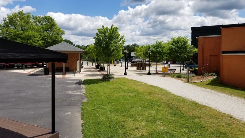
Only about 0.3 miles separate High Bridge Station from the bridge itself. That makes it the closest major access point to the main event.
The High Bridge Station Visitor Center is open daily from 9 a.m. to 4 p.m. It’s a good first stop for trail information and a quick restroom break.
There’s also a gift shop with park merchandise. Souvenir hunters, you’ve been warned.
Accessibility gets real attention at this park. The trail and parking lots are accessible, which opens the experience to a wider range of visitors.
Even better, accessibility tours to the High Bridge can be arranged by reservation. That’s a thoughtful touch for anyone who needs extra help reaching the span.
Timing matters a bit at this location. The High Bridge Station lot opens at 8 a.m., while most other parking lots open at sunrise.
Arriving right when things open is a nice strategy. You can grab information, fill your water bottle, and still reach the bridge in just a few minutes.
Short approach, huge reward. It’s hard to argue with that kind of ratio on any trail outing.
Parking Lots, Trailheads, and One Temporary Detour
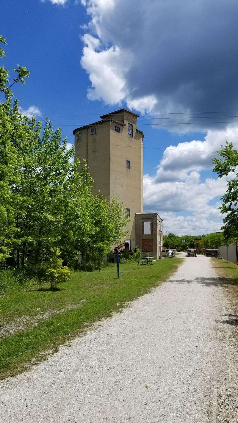
Getting to the trail is easier than spelling Appomattox. The park’s main office sits at 1466 Camp Paradise Road, Rice, VA 23966, which is also where High Bridge Station is located.
Trailer parking is available at that spot. It’s the best choice if you’re hauling horses or just want the shortest walk to the bridge.
The River Road access point uses 555 River Road, Farmville, VA 23901. It sits about one mile west of the bridge, but trailer parking isn’t permitted there.
Downtown Farmville offers another option through municipal lots near Main Street. From there, the bridge is roughly 4.5 miles away.
Now for an important heads-up. The River Road bridge in Farmville is undergoing reconstruction, and work is expected to continue through November 2026.
That closure affects the trail from Main Street east to Osborne Road. The good news is that access to the High Bridge itself isn’t affected.
Other lots sit in Rice, Tuggle, Prospect, Elam, and Pamplin. Checking with the park before you go is wise, since construction schedules can shift.
Pizza, Coffee, and River Views Waiting in Farmville
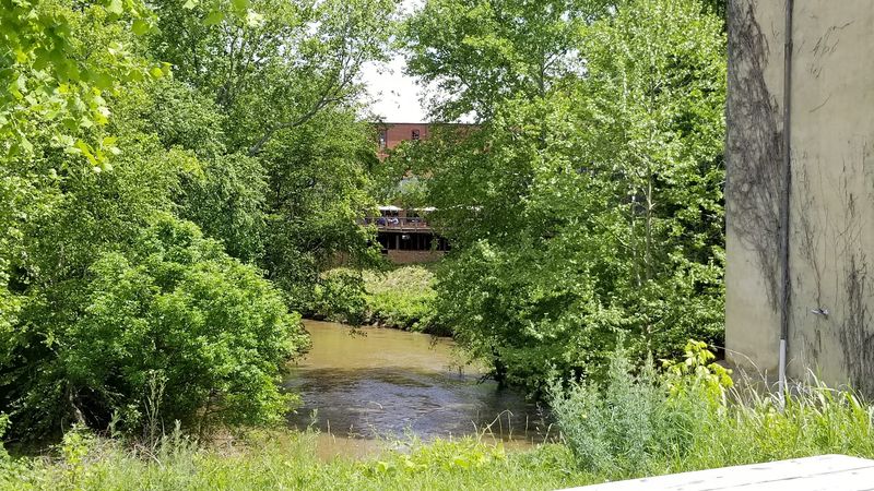
Trail appetite is real, and Farmville is ready for it. The town sits right along the route and offers plenty of places to refuel.
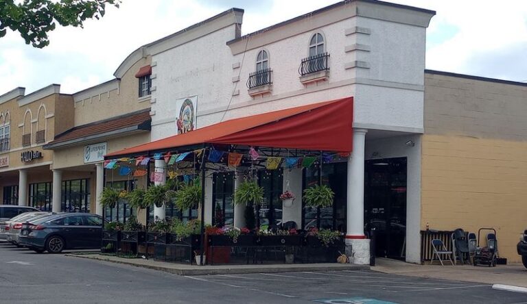
The Fox and Lamb serves wood-fired pizza inside a historic building. After a long ride, that sounds like a reward worth pedaling toward.
Uptown Coffee Café is another handy stop. A warm drink before or after the trail can make a chilly morning feel a whole lot friendlier.
For a meal with a view, Charley’s Waterfront Cafe offers deck dining above the Appomattox River. It’s a fun way to keep the river theme going.
The Catbird Rooftop Terrace at Hotel Weyanoke is known for its views and small plates. Rooftop dining after a day on a high bridge feels oddly fitting.
Need wheels? The Outdoor Adventure Store in downtown Farmville rents bikes.
There’s more to explore nearby, too. Longwood University, the Robert Russa Moton Museum, and Appomattox Court House National Historical Park are all within reach.
So is Virginia’s Heartland Regional Visitor Center and Transportation Heritage Museum, which suits train fans especially well.
Why This Old Trestle Earns a Spot on Your Weekend Plans
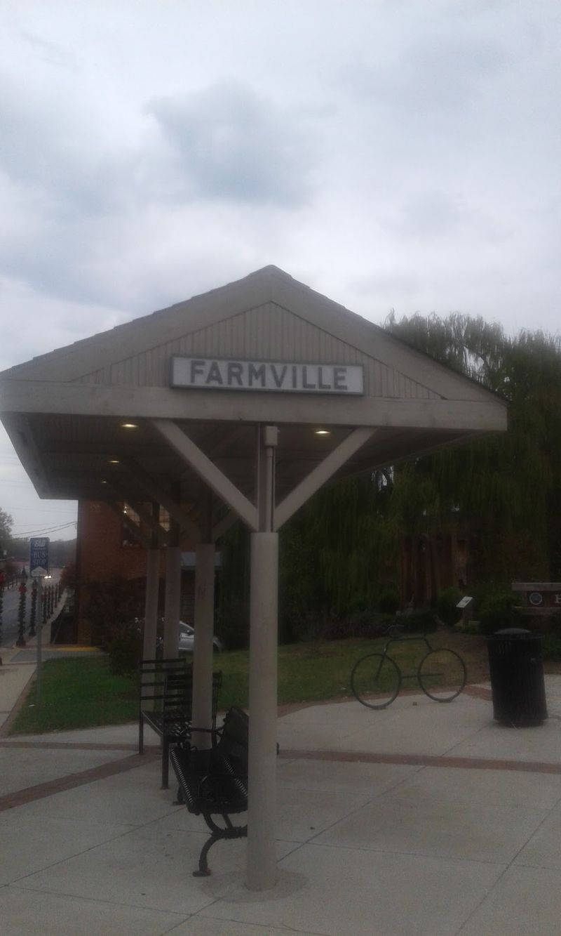
Some outings ask a lot of you. High Bridge Trail State Park asks for a water bottle, comfy shoes, and maybe a free morning.
In return, you get one of the most memorable walks in Virginia. A 125-foot-high bridge, a famous 1865 story, and miles of quiet countryside make a strong combination.
The flat grade keeps things welcoming. Casual walkers, families, long-distance cyclists, and horseback riders can all find their version of a good day here.
History lovers will appreciate the layers. From brick piers in the 1850s to steel in 1914 to a state park in 2012, the bridge has lived several lives.
The practical side is easy, too. The park opens daily from sunrise to dusk, and the visitor center sits just 0.3 miles from the bridge.
Pair your visit with a meal in Farmville, and the day practically plans itself. Just keep an eye on that River Road construction through late 2026.
I believe the best part is the simplest. Standing high above the Appomattox, with no engines anywhere, feels like the valley is finally taking a breath.