Trains rumbled through these East Bay backyards for nearly 90 years, and now strollers and bikes roll where boxcars used to. The old rails are gone, but the route still links town after town like beads on a string.
The paved path stretches 32 miles. It passes six parks and five downtowns with real railroad roots, including a restored depot from around 1891.
I like how a forgotten freight line turned into one of the friendliest outdoor spaces in Northern California. You can ride it, walk it, run it, and in some spots even trot it on horseback.
Oak shade, flat miles, and lunch stops come built in.
I can’t imagine a better excuse to explore several small towns without ever fighting traffic. So which downtown would you stop in first?
A 32-Mile Ribbon You Can Pedal Without Dodging A Single Car Lane
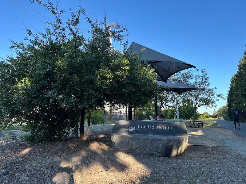
Concord sits at one end, near Highway 4, and Pleasanton anchors the other. In between, the Iron Horse Regional Trail rolls 32 paved miles through the heart of the East Bay.
It runs through Contra Costa and Alameda counties in Northern California. Along the way, it links Walnut Creek, Alamo, Danville, San Ramon, Dublin, and Pleasanton.
The path is multi-use, which is a polite way of saying everybody gets a turn. Walkers, runners, cyclists, stroller pushers, and wheelchair users all share the same smooth ribbon.
Some sections even welcome horseback riders. Fitting, for a trail named after a locomotive nickname.
What makes it special is how ordinary daily life sits right beside it. The trail threads past homes, schools, business parks, shopping centers, and BART stations, so it works as a commute route and a weekend escape.
The route also connects to other regional paths, including the Contra Costa Canal Regional Trail. That means a long ride can grow even longer if your legs agree.
Think of it as a hallway connecting the living rooms of an entire valley, with oaks for wallpaper.
Southern Pacific Steam Left Behind The Perfect Footprint
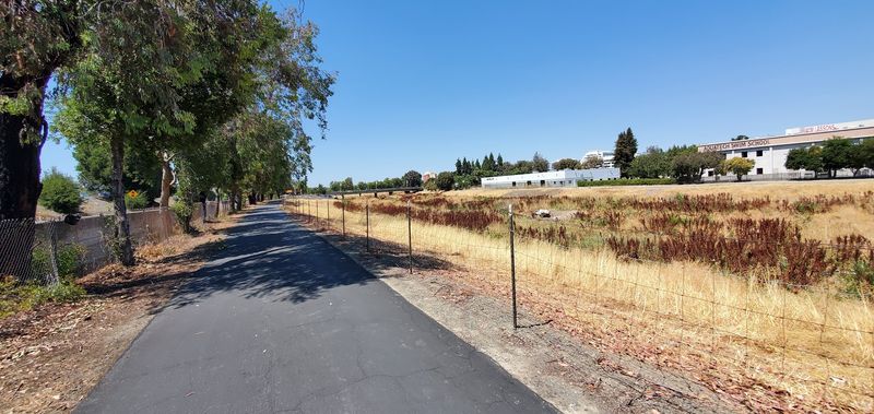
Back in 1891, the Southern Pacific Railroad laid a line through central Contra Costa County. The railroad helped shape the small farm towns that grew along its tracks.
For decades, trains carried goods and people through the San Ramon Valley. Towns like Danville and Alamo developed around that steady rail traffic.
Then the trains stopped. The line was abandoned in 1977 and 1978, leaving a long, flat corridor with nothing running on it.
Here’s the lucky part for the rest of us. Railroads need gentle grades, so the old right-of-way made an ideal base for a level path.
The trail itself was first established in 1986. Since then, the corridor has slowly filled in town by town, turning a freight line into a public green space.
In fast-changing California, keeping an 1891 route in everyday use feels like a small act of preservation. You aren’t just exercising here.
You’re tracing the exact line that helped put these communities on the map, one quiet mile at a time.
The Restored Depot That Makes Danville The Trail’s Sweet Spot
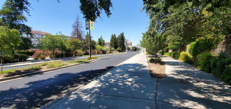
Few trail stops come with their own 1890s train station. Danville’s restored Southern Pacific Depot dates to around 1891 and stands as a proud reminder of the line’s early days.
The depot today houses the Museum of the San Ramon Valley. It’s a natural place to pause and connect the path under your wheels with the history behind it.
Downtown Danville sits right along the Iron Horse Regional Trail. That makes it easy to hop off for a meal, a browse through the shops, or a simple stretch break.
Plenty of riders treat Danville as the midpoint reward. Starting from Dublin, for example, makes for a comfortable ride north to a picnic lunch and back.
The scenery also shifts as you approach town. Shade gets thicker and the surroundings feel greener than the more open southern stretch.
If you only pick one downtown to explore, this one makes a strong case. A historic depot, walkable streets, and the trail at your doorstep add up to a very pleasant afternoon in the San Ramon Valley.
Walnut Creek Brings Two Parks And A Steakhouse Backstory
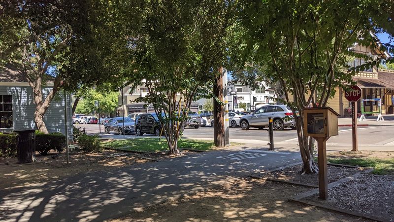
Walnut Creek once had its own railroad depot along this line. Later in life, the building found a second career as a steak restaurant, which is quite the retirement plan.
Today the trail passes near downtown Walnut Creek and its busy streets. Two parks here make handy jumping-off points.
Civic Park serves as an access point and pairs nicely with a stroll into town. Walden Park also offers direct access to the trail, giving you another easy way on.
The Walnut Creek stretch is a favorite for bird watching. Keep your eyes up, because the trees and open space can draw plenty of feathered company.
Many riders consider the section from San Ramon to Walnut Creek the best-looking part of the route. That’s a solid endorsement for starting here and heading south.
One heads-up for cyclists: the trail ends its Walnut Creek portion by moving through the city. Expect street crossings and stop signs, and bring patience along with your water bottle.
A bell helps too when passing walkers and dogs.
Alamo’s Little Stop With The Restrooms Everyone Hopes For
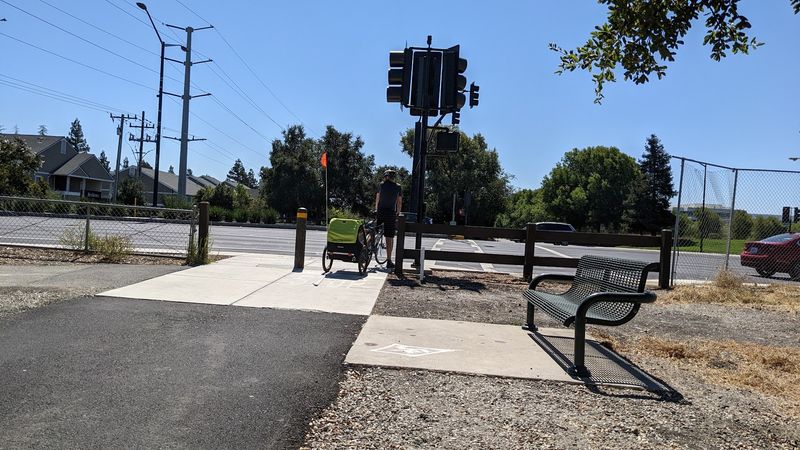
Ask any long-distance walker what matters most, and restrooms rank high. Hemme Station Park in Alamo delivers exactly that, along with water fountains.
The park sits right along the trail, so it makes a smart refill point. Its name nods to the railroad era, when stations dotted this corridor.
Alamo is one of the communities that grew up along the 1891 Southern Pacific line. The trail connects with its downtown, giving you another chance to step off and look around.
The town keeps a quieter, semi-rural feel compared to its bigger neighbors. That calm pairs well with an easy-paced walk under the trees.
Facilities can feel sparse in some parts of the route. Stops like Hemme Station help, so it pays to know where they are before you set out.
Plan your hydration around these spots, especially in summer. A quick break in Alamo can turn a long ride into a comfortable one, and nobody minds an excuse to sit in the shade for a minute.
San Ramon Lets You Ride Clear Across Town In One Go
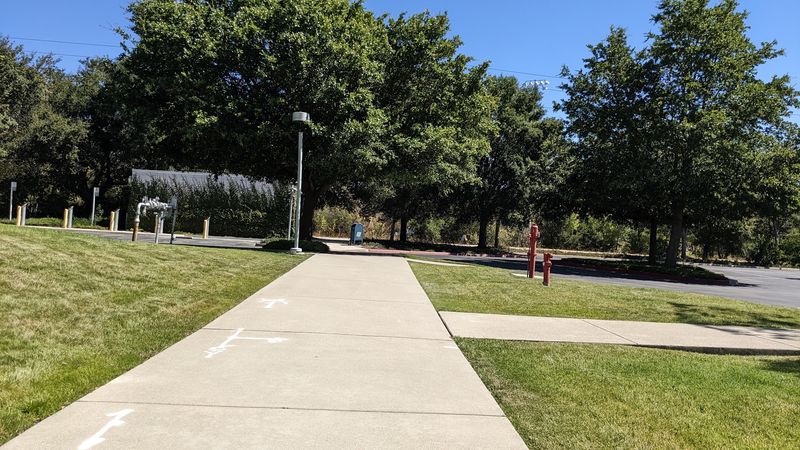
Not many cities let a trail cross their entire length. San Ramon does, with the path running through the whole city from end to end.
The route threads past neighborhoods and commercial areas. It’s a neat way to see how the old rail line still ties daily life together.
Central Park sits directly on the trail. It offers amenities and easy access, making it a handy spot to start, stop, or let the kids burn off energy.
San Ramon also marks the start of what many consider the most scenic stretch. Heading north toward Walnut Creek, the greenery thickens and the ride feels more relaxed.
Like much of the route, this section is flat and friendly. Expect several road crossings, though, so slow down and watch the signs.
For families, San Ramon hits a sweet balance. You get park space, smooth pavement, and short distances between landmarks.
Small riders on scooters can feel like they’ve conquered a big adventure, even if the grown-ups barely broke a sweat.
Southern Miles Lead To Dublin, Pleasanton, And A Lakeside Finale
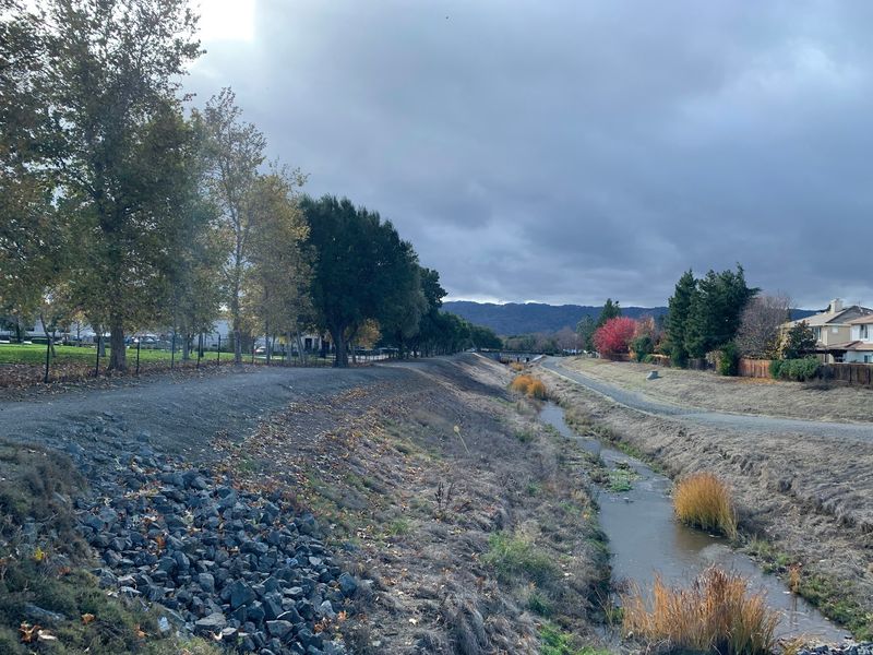
The southern end wraps up with a surprise. The trail extends to Shadow Cliffs Regional Recreation Area in Pleasanton, one of its southern endpoints.
Pleasanton was historically served by the railroad too. The trail doesn’t run straight through its downtown, but streets with bike lanes connect the two.
Dublin plays a big role here as well. Village Green Park sits along a non-motorized route that includes the Alamo Canal Trail, which links up with the Iron Horse.
The Dublin/Pleasanton BART station makes a popular starting point. Exit on the Dublin side and follow Iron Horse Parkway toward the trail, with signs growing more frequent as you go.
This stretch has less shade than the northern miles. Inland temperatures can climb, so sunscreen and extra water are your best friends.
Some riders have also found dirt and rock patches along I-680 in Pleasanton. Conditions can change, so stay alert.
Still, finishing near a regional recreation area beats ending at a parking lot any day.
Oaks, Wildflowers, And A Few Cows Keep The Suburbs Interesting
Cattle grazing within sight of a suburban bike path? That’s part of the charm here.
Views of grazing cows pop up along the route, a nod to the valley’s farm past.
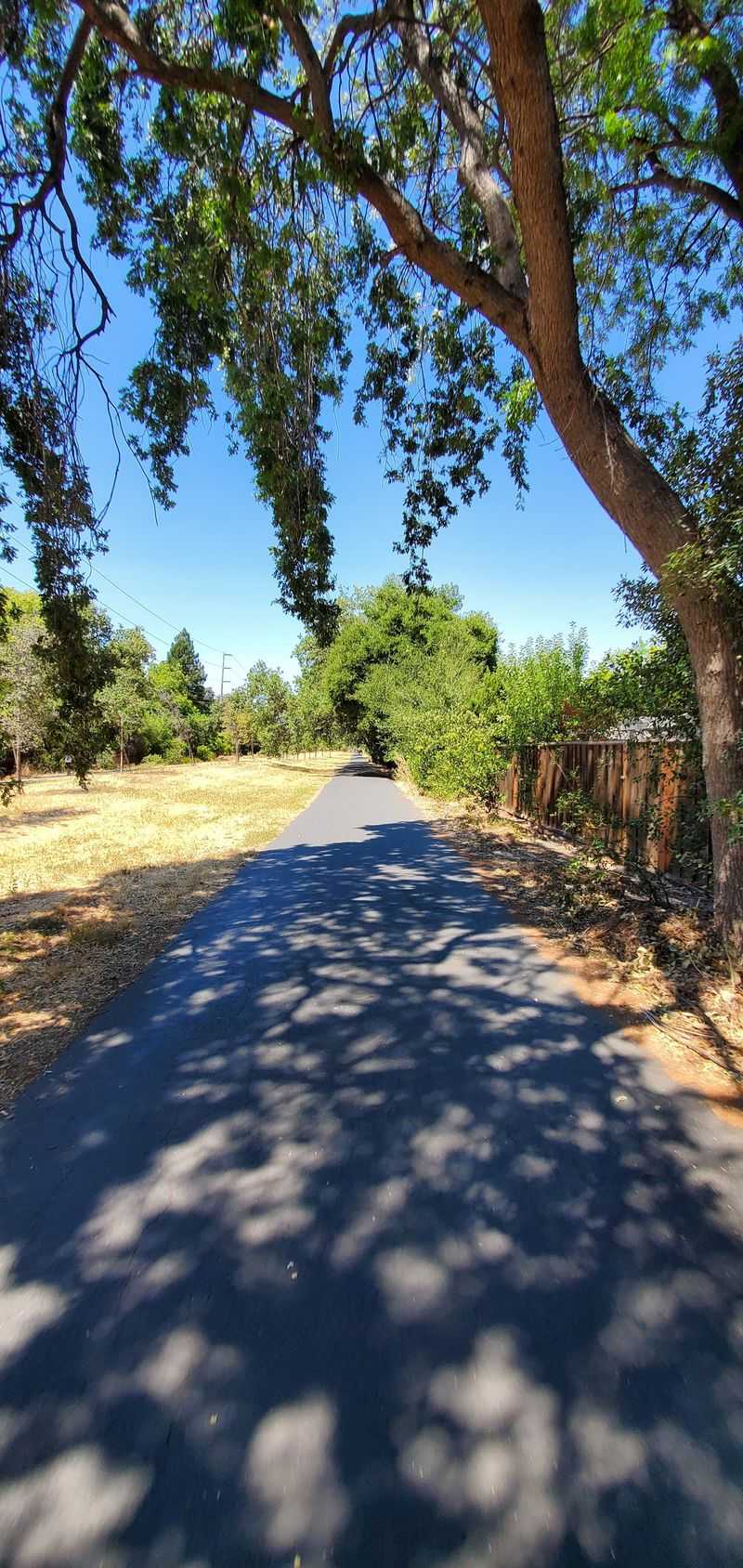
Oak trees shade long sections of the trail. That canopy helps keep things cooler on warm days, which matters a lot in the East Bay summer.
Seasonal wildflowers can brighten the edges, especially in spring. Bloom timing varies year to year, so treat any color as a bonus.
Birders may find good spotting near Walnut Creek. Other animals often turn up too, giving kids something to point at besides the next snack stop.
Let’s be honest about one thing. Some stretches are long, flat, and plain, passing shopping centers and road crossings.
That mix is the point, though. You get pockets of nature woven through everyday neighborhoods.
It’s the kind of green space Northern California families can enjoy before work, after school, or on a lazy Sunday without planning a full mountain expedition.
Room For Kids On Scooters, Riders On Horseback, And Everyone Between
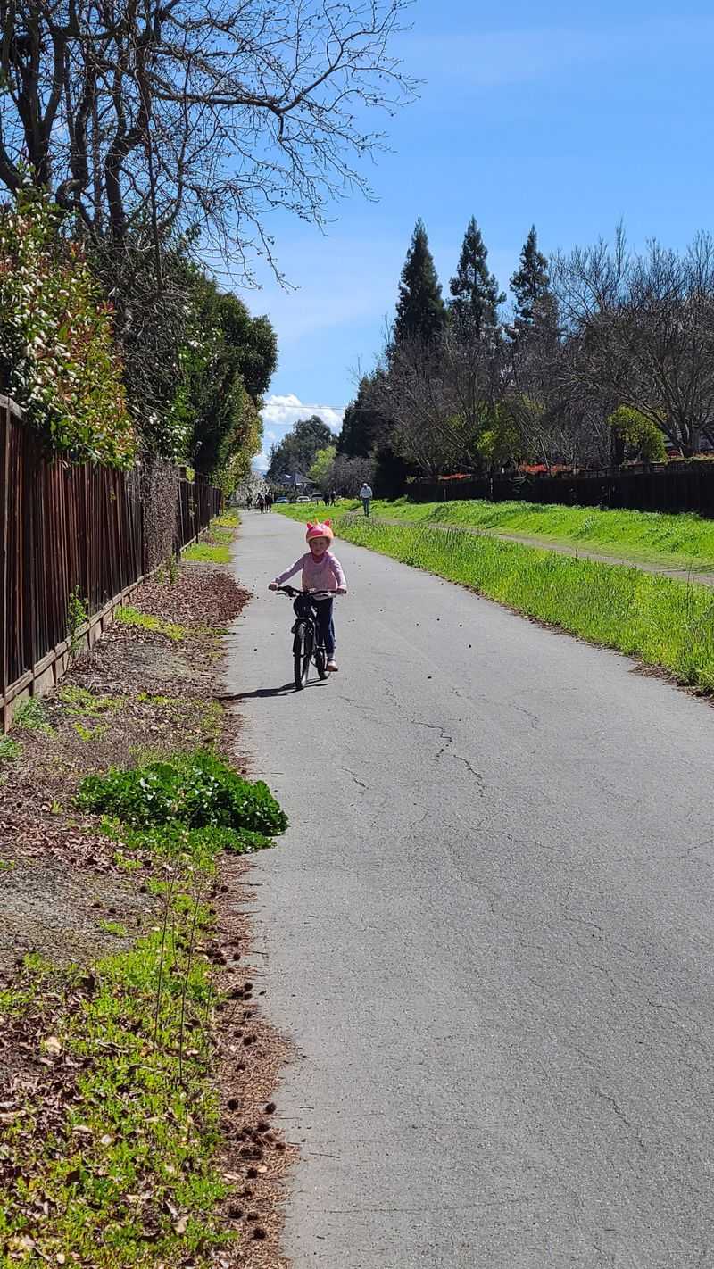
Flat ground is a gift for little legs. The trail’s gentle railroad grade makes it a favorite for families biking with young kids.
The path is ADA accessible and kid-friendly. Wheelchairs, strollers, and mobility devices can roll comfortably along the paved surface.
Dog walkers love it, and so do morning and evening runners. Long walkers will find miles of uninterrupted path with grass alongside in many spots.
Equestrians are welcome in some sections. Yes, you might share the route with a horse, which tends to make kids very happy.
Cyclists enjoy riding without cars whizzing past. Afternoons can bring plenty of walkers, so early mornings often work better for a faster ride.
A little trail etiquette goes far. Call out or ring a bell when passing pedestrians, dogs, or children, and stop at crossings.
Pavement can be rough in a few areas, so younger riders should keep their eyes forward. With courtesy on all sides, this shared path feels relaxed and welcoming.
Hours, BART Stops, And A Few Detours Worth Knowing
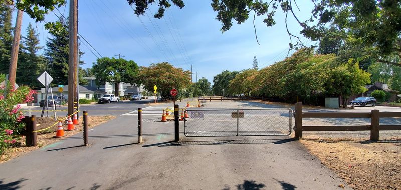
Timing your visit is simple. The trail generally opens from 5 a.m. to 10 p.m., though posted hours or temporary closures can apply.
Getting there is easy thanks to BART. Stations in Pleasant Hill, Walnut Creek, and Dublin/Pleasanton all sit close to the route.
Driving works too. Civic Park in Walnut Creek is a convenient place to park and hop on.
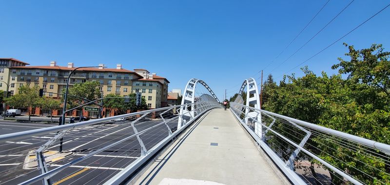
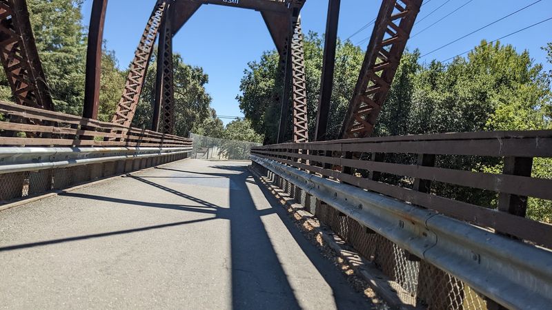
Check for alerts before heading out. Recent notices included repairs to the Robert I.
Schroder Pedestrian Bridge over Treat Boulevard and a water line closure in Danville between Wayne Avenue and Hartford Road.
Caution has also been advised near the I-680 overpass between Sycamore Valley Road and San Ramon Valley Boulevard. The East Bay Regional Park District posts current updates.
Pack water, layers, and sun protection, especially if you’re riding the full length. Inland sections can get much hotter than the shady north.
Facilities are spaced out, so plan restroom stops around parks like Hemme Station and Central Park.
A Rail Line That Keeps Growing Long After The Last Train
Most retired rail lines simply fade away. This one keeps getting longer, with plans to extend toward Livermore and Suisun Bay for a potential total of 55 miles.
That ambition says a lot about how much the Iron Horse Regional Trail means to the region. A freight route from 1891 now carries commuters, families, and weekend wanderers instead.
Is every mile breathtaking? Not quite, and some stretches feel more suburban than scenic.
But the full package is hard to beat. Six parks, five towns with railroad roots, a restored depot, and shady oaks all line up along one flat path.
It’s the rare outing that works for a toddler on a scooter and a cyclist chasing big mileage. You can make it a quick stroll or a full-day ride with lunch in Danville.
For anyone who loves California history hiding in plain sight, this trail deserves a spot on the list. Pick a downtown, grab a bike, and follow the old tracks.
It’s a true East Bay secret worth a day trip.